

Complete GPS Coverage in Dallas: A 2026 Guide to Monitoring Devices
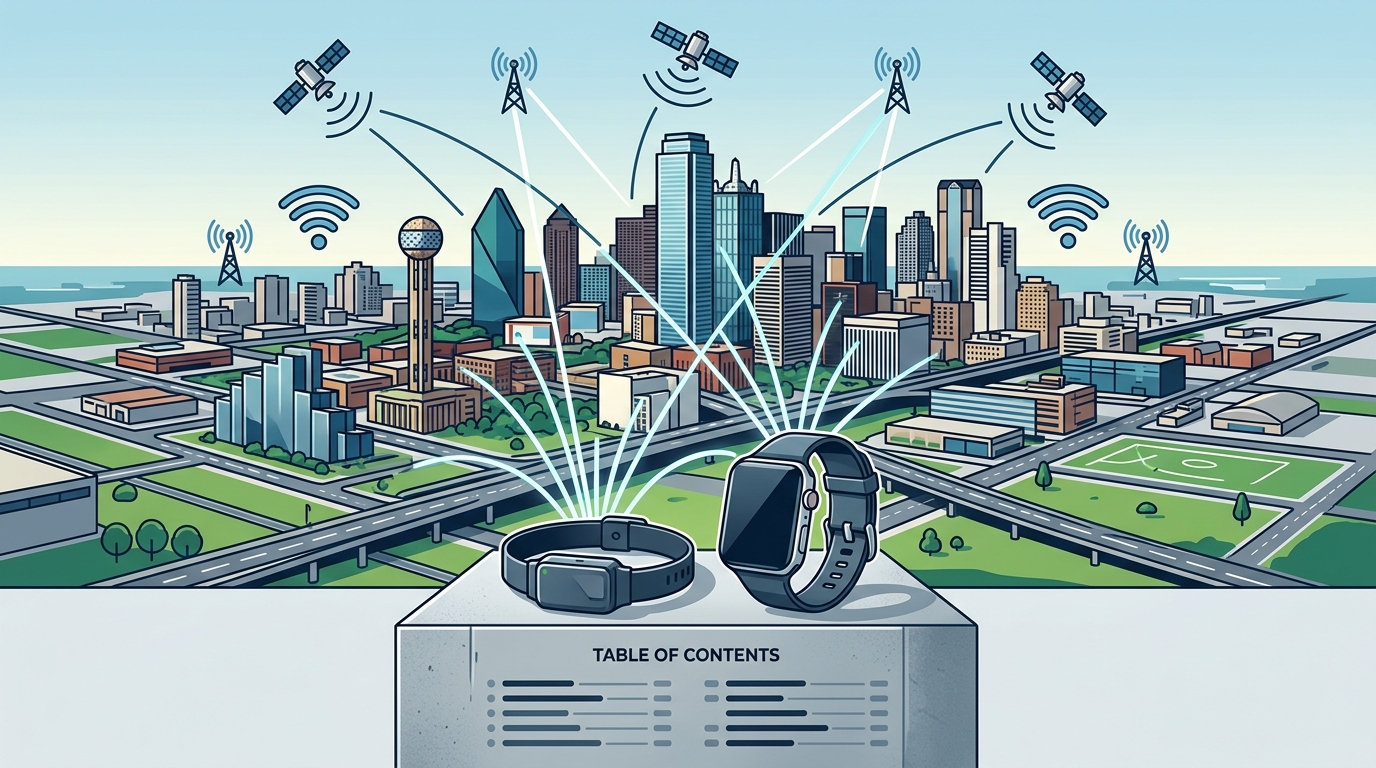
Complete GPS coverage in Dallas, Texas, requires devices that combine satellite triangulation with cellular and Wi-Fi backup signals. JSG Monitoring provides these multi-technology solutions to ensure reliable tracking in dense urban environments. This guide explains how satellite, cellular, and urban signal factors impact device performance in the Dallas metro area.
GPS Satellite Coverage
GPS satellite coverage is the foundational layer of any electronic monitoring system. The Global Positioning System relies on a constellation of satellites orbiting the Earth to provide precise location data. In Dallas, the open sky visible from most residential and commercial areas allows for strong initial signal acquisition. However, satellite signals are weak and can be easily blocked by physical structures.
The Role of Multi-Technology Devices
Modern monitoring devices do not rely on GPS alone. JSG Monitoring offers devices like the BI LOC8 XT, which uses GPS, Wi-Fi, and cellular technology to ensure complete community coverage. This multi-technology approach is critical in Dallas, where the urban density can obstruct direct line-of-sight to satellites. By triangulating data from multiple sources, these devices maintain accuracy even when satellite signals are intermittent.
Accuracy and Precision in Urban Settings
Accuracy refers to how close the reported location is to the true location. In open areas, GPS accuracy can be within a few meters. In urban canyons formed by tall buildings, accuracy may degrade. Devices with advanced filtering algorithms, such as the SCRAM GPS, use GPS Analytics to smooth out data and provide reliable location context. This ensures that monitoring officers receive actionable insights rather than erratic data points.
Cellular Carrier Coverage
Cellular carrier coverage is the transmission backbone for real-time monitoring. While GPS provides the location, cellular networks transmit that data to the monitoring platform. Dallas is served by major carriers with extensive 4G LTE and 5G infrastructure. However, coverage is not uniform. Indoor environments, basements, and dense building clusters can create cellular dead zones.
Connectivity and Data Transmission
Reliable data transmission requires a stable cellular connection. The Omnilink GPS device features a durable design and long battery life, supporting continuous data transmission. It integrates with FocalPoint software, which visualizes real-time movements. If a device loses cellular signal, it may store data locally and transmit it once the connection is restored. This buffer capability is essential for maintaining a continuous record of compliance.
Network Redundancy
Some devices support multiple cellular bands to switch between carriers or frequencies if one signal weakens. This redundancy helps maintain connectivity in the Dallas metro area, where traffic congestion and building density can affect signal strength. JSG Monitoring’s devices are designed to handle these fluctuations, ensuring that alerts and location updates reach the monitoring center promptly.
Urban Signal Degradation
Urban signal degradation is the reduction in signal quality caused by the physical environment. In Dallas, this is a significant factor for monitoring programs. Tall buildings, bridges, and underground parking structures can block or reflect GPS and cellular signals. This phenomenon, known as multipath error, can cause location drift or false alerts.
Mitigating Signal Loss
To mitigate urban signal degradation, devices use Wi-Fi and RF beacons. The BI LOC8 XT includes a power-saving beacon option and over-the-air updates to maintain performance. Wi-Fi signals can penetrate buildings more effectively than GPS, providing indoor location verification. This is particularly useful for house arrest or curfew monitoring in Dallas apartments and homes.
Indoor Tracking Capabilities
Indoor tracking is a key differentiator for modern monitoring devices. The Omnilink GPS uses optional RF and Wi-Fi beacons for precise tracking in indoor and GPS-impaired environments. This allows agencies to verify that an offender is inside a designated residence without requiring them to be in a specific room. This level of detail supports effective compliance management in dense urban areas.
Device Comparison Table
The following table compares key features of JSG Monitoring devices relevant to coverage in Dallas, Texas.
| Device | Primary Technology | Indoor Tracking | Key Feature for Urban Coverage |
|---|---|---|---|
| BI LOC8 XT | GPS, Wi-Fi, Cellular | Yes | Complete community coverage via multi-technology triangulation |
| Omnilink GPS | GPS, Cellular, RF/Wi-Fi Beacons | Yes | Precise indoor verification and two-way communication |
| SCRAM GPS | GPS, 3G | Limited | GPS Analytics and Google Street View mapping for context |
| Buddi Insight | GPS, Cellular | Yes | Lightweight design with customizable zones and instant alerts |
Key Takeaways
- GPS satellite coverage is strong in open areas but can be blocked by urban structures in Dallas.
- Cellular carrier coverage is essential for real-time data transmission and alert delivery.
- Urban signal degradation can cause location drift, requiring multi-technology devices for accuracy.
- Wi-Fi and RF beacons enable precise indoor tracking in GPS-impaired environments.
- JSG Monitoring devices like the BI LOC8 XT and Omnilink GPS are designed for complete community coverage.
- Over-the-air updates and power-saving features ensure long-term reliability and efficiency.
- Integration with platforms like FocalPoint and SCRAM Systems provides actionable insights for monitoring officers.
- Choosing the right device depends on the specific monitoring needs, such as curfew, house arrest, or alcohol monitoring.
Frequently Asked Questions
Do GPS devices work indoors in Dallas?
Yes, devices with Wi-Fi and RF beacon capabilities, such as the Omnilink GPS, can track locations indoors. Pure GPS signals are often blocked by building walls, but Wi-Fi triangulation provides accurate indoor positioning.
What is the difference between GPS and cellular tracking?
GPS determines location using satellite signals, while cellular tracking uses cell tower data to estimate location. Modern devices combine both for accuracy and real-time data transmission.
How does urban density affect monitoring accuracy?
Urban density can cause multipath errors, where signals reflect off buildings and cause location drift. Multi-technology devices mitigate this by using Wi-Fi and cellular data to verify GPS positions.
Can monitoring devices be tampered with?
Most devices, including the SCRAM GPS and BI LOC8 XT, feature tamper-proof straps and robust detection systems that alert monitoring centers immediately if interference is detected.
What is the battery life of these devices?
Battery life varies by device and usage. The SCRAM GPS features industry-leading battery life, while the BI LOC8 XT includes power-saving options to extend performance.
How do I choose the right device for my program?
Consider the monitoring goals, such as curfew, house arrest, or alcohol testing. JSG Monitoring offers a range of devices, from discreet wrist-worn options to comprehensive ankle bracelets, to fit various program needs.
Conclusion
Achieving complete GPS coverage in Dallas, Texas, requires a multi-technology approach that accounts for satellite, cellular, and urban signal challenges. JSG Monitoring provides reliable, high-quality devices designed to handle these complexities, ensuring accurate and continuous monitoring for community safety. By understanding the factors that affect signal quality, agencies can select the right tools to support effective compliance and rehabilitation. To explore the full range of monitoring solutions, contact JSG Monitoring today.